Platform · Communication
Your territory, Your vision
Manage your territorial communication strategy with a tailor-made interactive map
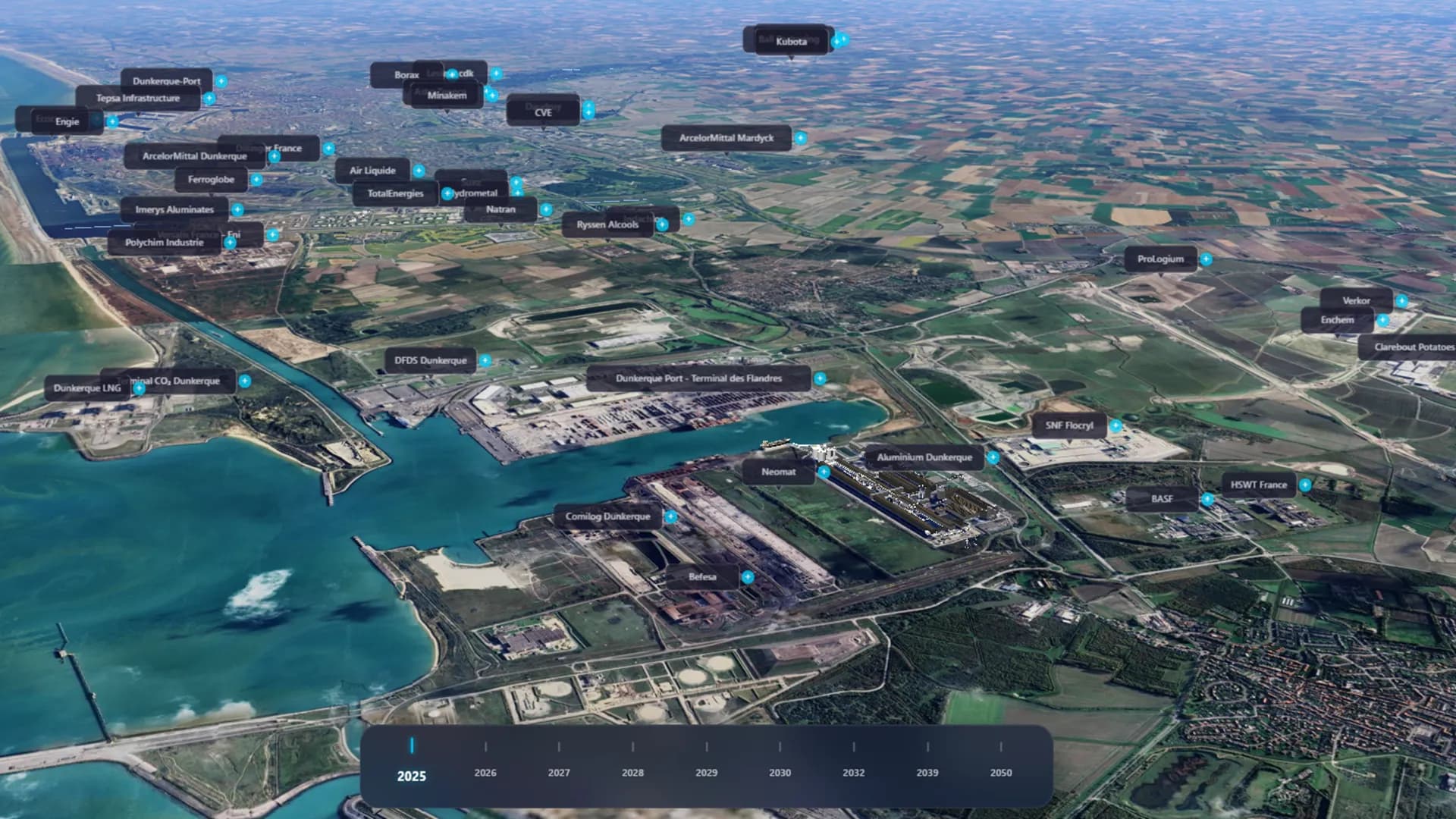
Your territory, your map
Create an interactive map in your image
2D or 3D, you choose
Integrate your 3D assets, images, videos and documents directly on the map. Switch from satellite view to 3D model in one click.
Collaborate as a team
Identity management, access levels and security. Each department or partner accesses its own data layer.
Share or keep private
Distribute your map via public link or reserve it for your internal presentations and steering committees.
Who is WiseAtlas for?
A solution suited to local authorities and companies alike
Audience 01
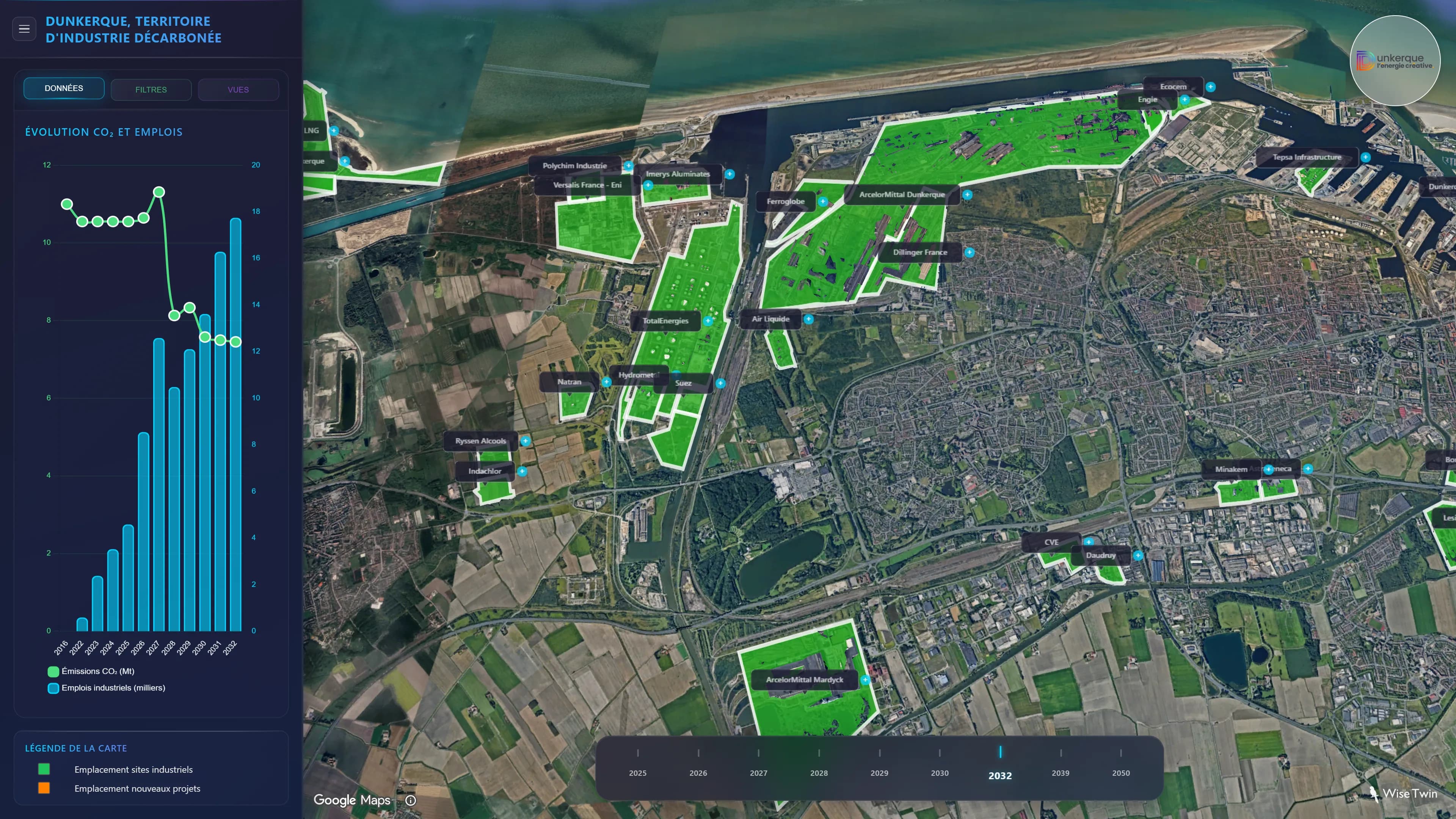
For local authorities
A management and communication tool serving your territory
- Interactive map customized to your visual identity
- Autonomous editor for your staff
- Import of networks and land footprints
- Secure and sovereign hosting
- Satellite image updates included
- Dedicated technical support
Audience 02
For companies
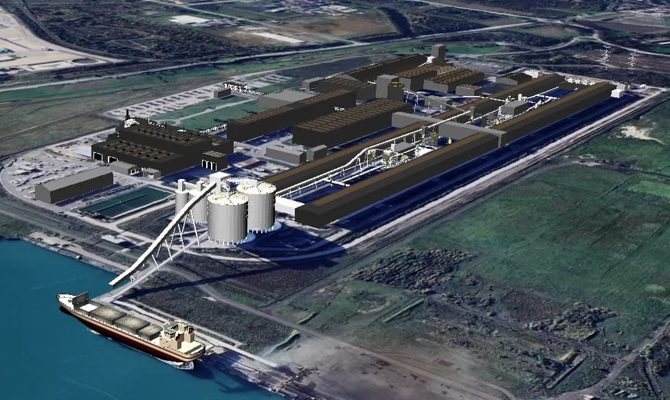
Your permanent 3D showcase on the official territory map
- 3D model of your building visible on the map
- Integration of tour and recruitment videos
- Permanent employer brand showcase
- Communication of your extension projects
- Modeling from your architect plans
- Visibility with local partners
How it works
From defining your axes to publishing your map
1 meeting
Define your axes
Choose the themes to highlight: economic attractiveness, heritage, tourism, environment…
Ongoing
Integrate your data
Import your data, documents, 3D models and media to enrich your map.
Ongoing
Customize the experience
Configure the visual rendering, filters and navigation paths for your audiences.
Immediate
Publish and share
Put your map online and track your visitors' engagement.
Use cases
Territorial attractiveness
Showcase your territory to investors, companies or new residents with an interactive showcase.
Public consultation
Present your development projects to citizens and collect their feedback directly on the map.
Project tracking
Communicate the progress of your infrastructure or development projects in real time.
Public consultation
Showing an extension in 3D is far less anxiety-inducing for residents than a technical site plan. Simplified interface for citizens.
A territorial communication project?
Contact us and receive our detailed brochure with our offers and client cases.
Personalized demo
30 min on your territory or remotely
Needs analysis
We define your project together
Tailor-made proposal
Personalized quote, free and with no commitment